
GNSS monitoring
Permanent satellite positioning, even without line of sight.
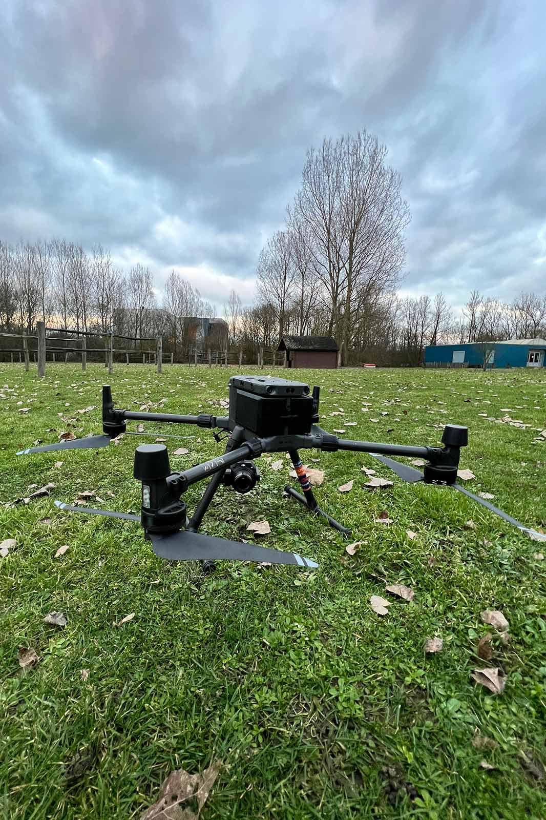
GNSS receivers (GPS, Galileo, GLONASS) continuously determine the absolute position of a point via satellites. They need no mutual line of sight and are therefore ideal for extensive sites such as dykes, slopes and large infrastructure.
Absolute position via satellites
Fixed GNSS receivers measure the position of each point 24/7. By combining the signals of several satellite constellations with a stable reference station, we achieve, after statistical processing, a precision of a few millimetres.
- No line of sight required between points
- Works over large distances and height differences
- Combinable with total station and sensors
- Unaffected by fog and darkness
Ideal for extensive sites
GNSS monitoring excels where optical measurements are difficult: long dyke bodies, unstable slopes, wind turbines or long-span bridges. The data integrates seamlessly into the same dashboard.
Applications
- Dykes and flood defences
- Unstable slopes and embankments
- Wind turbines and masts
- Large bridges
- Mining and landfill sites
Contact
Contact us
Tell us about your monitoring project. We usually reply within one business day.
- TOPO4D
Schaapschuur 1 B5
1790 Affligem, België - +32 473 70 89 15
- info@topo4d.be
- Mon–Sat 8:00–17:30 · Sun closed · 24/7 emergency on-call