
Drone monitoring
Area-wide monitoring of large zones with drone and photogrammetry.
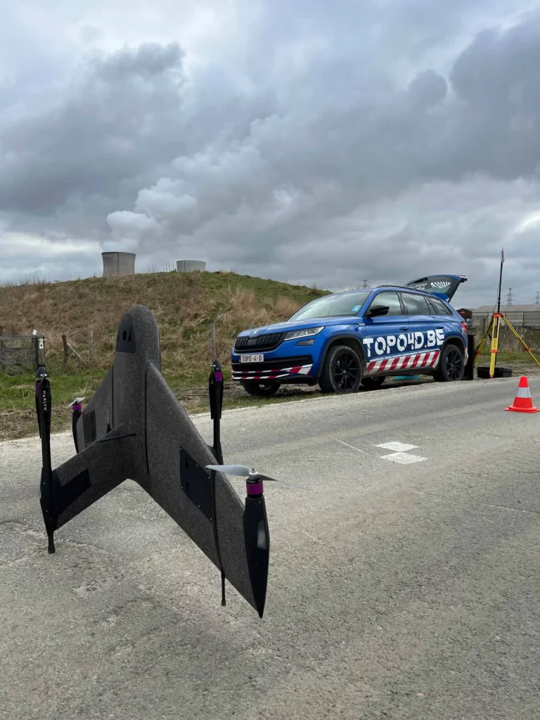
With drone surveys we capture large and hard-to-reach zones across their full surface. By comparing periodic flights, we accurately map volume changes, subsidence and erosion — ideal where point measurements fall short.
Area-wide instead of point-by-point
Where a total station measures individual points, a drone delivers millions of measurement points across an entire surface. Using photogrammetry or LiDAR we build a detailed 3D model and orthophoto of the terrain.
- High-resolution orthophotos and digital terrain models
- Volume calculations of stockpiles and earthworks
- Difference models between successive flights
- Visual inspection of roofs, façades and structures
Accurate and repeatable
By surveying ground control points (GCPs) with GNSS and using RTK positioning on the drone, we achieve accuracy down to a few centimetres. Fixed flight plans ensure every campaign is comparable.
Applications
- Quarries and landfills
- Earthworks and cut/fill balance
- Dykes and banks
- Erosion and subsidence monitoring
- Inspection of hard-to-reach structures
Contact
Contact us
Tell us about your monitoring project. We usually reply within one business day.
- TOPO4D
Schaapschuur 1 B5
1790 Affligem, België - +32 473 70 89 15
- info@topo4d.be
- Mon–Sat 8:00–17:30 · Sun closed · 24/7 emergency on-call